The Phoenix Marathon route is officially confirmed for race day on Saturday, December 13, 2025, featuring a 26.2-mile point-to-point course that runs through North Phoenix, central neighborhoods, canal paths, and desert scenery before finishing near Papago Park. Thousands of runners are expected to participate, making this one of the most significant road racing events ever staged in the city.
This guide provides a clear, factual breakdown of the Phoenix Marathon route, including the start and finish locations, major course sections, runner support details, and what spectators can expect on race day.
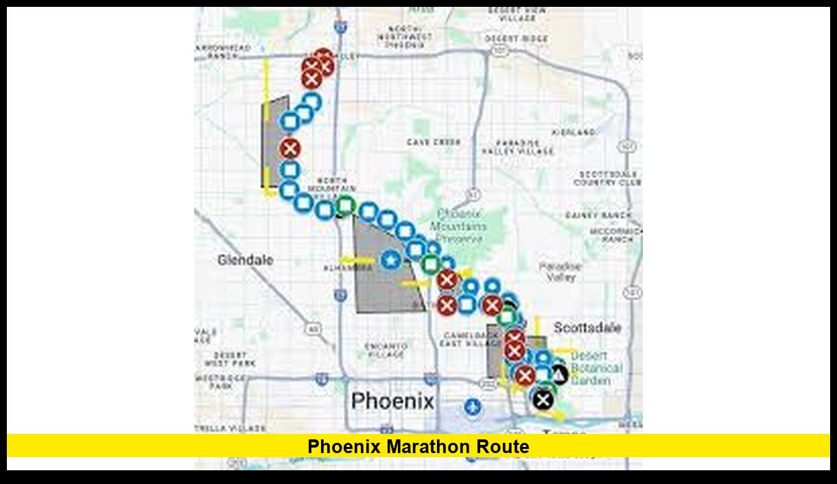
Phoenix Marathon Route Overview
The Phoenix Marathon route was designed to highlight a wide range of city landscapes while maintaining a mostly flat and runnable profile. Runners experience a blend of urban streets, shaded canal paths, residential neighborhoods, and open desert views.
Key course details at a glance:
- Race Date: Saturday, December 13, 2025
- Distance: 26.2 miles
- Start Location: Deer Valley Towne Center, North Phoenix
- Finish Location: Phoenix Municipal Stadium near Papago Park
- Additional Events: Half Marathon and 10K
Starting Line: Deer Valley Towne Center
The marathon begins near Deer Valley Towne Center in North Phoenix. This location offers wide roads and space for staging thousands of runners. The opening miles guide participants south through city streets, allowing runners to settle into their pace early.
This section of the Phoenix Marathon route is relatively flat and smooth, helping runners conserve energy during the crucial first miles.
Arizona Canal Trail Segment
One of the defining features of the Phoenix Marathon route is the extended stretch along the Arizona Canal Trail. This portion covers approximately nine miles, making it one of the longest continuous sections of the race.
What runners experience here:
- Shaded pathways in several areas
- Calm water views alongside the canal
- Minimal elevation changes
- A quieter atmosphere compared to city streets
This segment is often cited as a pacing advantage, especially for runners aiming for consistent splits.
Transition Into Central Phoenix
After leaving the canal trail, the course moves onto city streets heading toward central Phoenix. Runners pass through established neighborhoods and major corridors, where spectators often gather to cheer.
This section brings increased energy and visual variety, with skyline views and more frequent aid stations. While still manageable, runners begin to feel the cumulative distance during these miles.
Camelback Road and the Biltmore Area
The Phoenix Marathon route continues through the Camelback Road corridor and the Biltmore neighborhood. Known for its tree-lined streets and upscale surroundings, this area provides visual relief and strong community support.
Although elevation changes remain modest, this mid-race segment can feel demanding as runners approach later miles. Hydration and pacing become increasingly important here.
Desert Miles Toward Papago Park
As runners move closer to the finish, the route transitions into more open terrain near Papago Park. These miles showcase the desert character of Phoenix, with wide views, natural rock formations, and less urban development.
While the scenery is striking, the openness can increase sun exposure. Race organizers place aid and medical stations strategically to support runners through this stretch.
Finish Line: Phoenix Municipal Stadium
The race concludes at Phoenix Municipal Stadium, located near Papago Park. The stadium finish creates a celebratory atmosphere, with spectators, volunteers, and race staff welcoming runners across the line.
Finish-area amenities include:
- Finisher medals
- Hydration and recovery food
- Medical support
- Designated reunion zones
The stadium setting allows friends and family to easily watch runners complete the Phoenix Marathon route.
Aid Stations and Medical Support
Aid stations are positioned at regular intervals along the Phoenix Marathon route. Each station provides water and electrolyte drinks, with medical teams available throughout the course.
Mobile medical units and emergency personnel are also deployed to respond quickly if assistance is needed.
Road Closures and Transportation
Road closures begin early on race morning, with some streets closing as early as 4:00 a.m. Closures roll through the city as runners progress, and most roads reopen by early afternoon.
Participants are transported by race-organized buses from the finish area to the starting line. Spectators are encouraged to plan ahead and avoid driving across the course during peak race hours.
Best Viewing Areas for Spectators
Spectators can watch runners at several key points along the Phoenix Marathon route:
- Arizona Canal Trail for early-race views
- Central Phoenix corridors with higher crowd energy
- Camelback Road through the Biltmore area
- Phoenix Municipal Stadium for the finish
Each location offers a different perspective of the race experience.
Why the Phoenix Marathon Route Stands Out
This course combines city energy with desert beauty, offering runners a diverse and memorable race. The extended canal trail, manageable elevation, and stadium finish make the Phoenix Marathon route appealing to both competitive athletes and first-time marathoners.
Where will you experience the Phoenix Marathon route — running it or cheering from the sidelines? Share your plans and stay tuned for race-day updates.